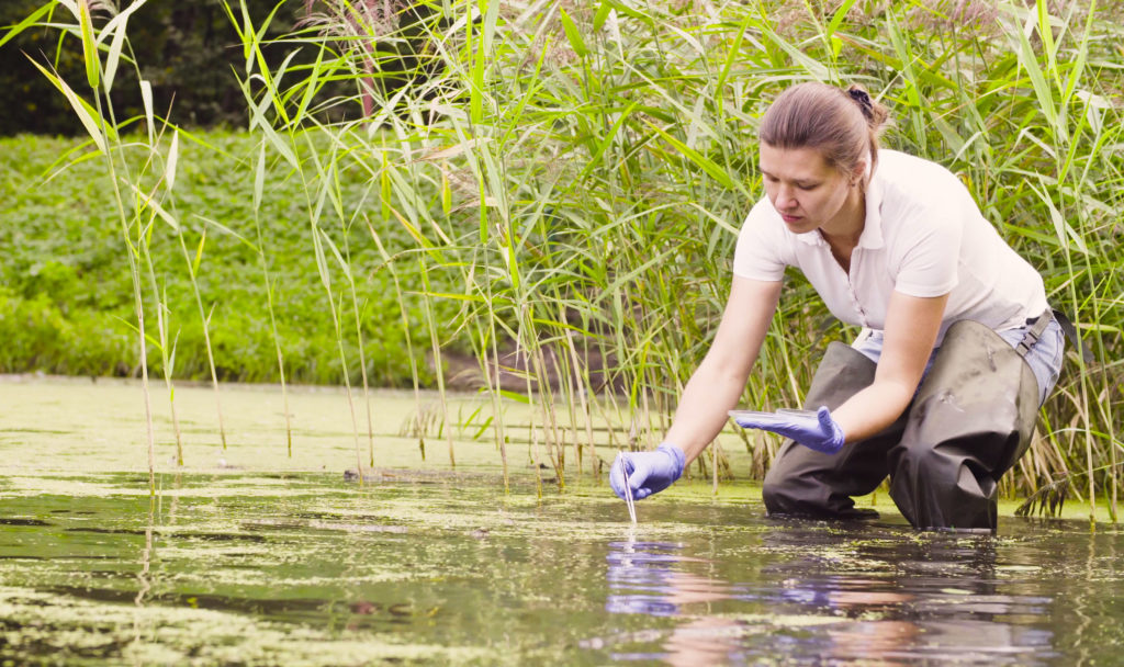
Wetland delineation establishes the location and physical area of a wetland for purposes of federal, state, and local regulations.
Wetland delineation is also an element of a jurisdictional determination. This process identifies which water bodies within a project’s boundaries meet the definition of “waters of the United States”.
Learning more over Wetlands Identification and Delineation:
May come as a surprise to learn that Texas, often thought of as relatively dry, contains millions of acres of different types of wetlands across the state. As economic development encroaches and puts pressure on natural habitats that are essential for our survival and well being we are faced with critical decisions about the use of land resources.
Wetlands are recognized for their value to human health and economics and are protected ecosystems regulated by the United States Army Corps of Engineers (USACE), as outlined in Section 404 of the Clean Water Act.
Wetlands take major functions that are critical for humans and wildlife such as:
- pollution filtration
- buffer surrounding areas from flood damage
- soak up rain runoff
- reduce flood peaks up to 60%, saving flood damage costs